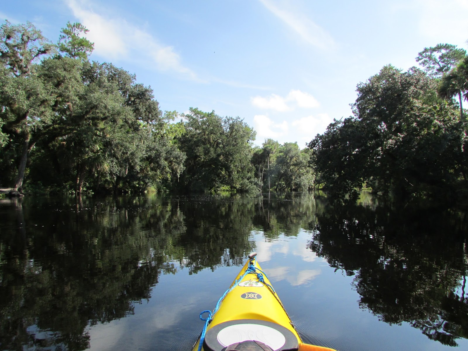
The Econlockhatchee
419 Bridge to Snowhill Road Bridge
and
Hidden River RV Park (Highway 50) to
419 Bridge
At HighWater
The Econlockhatchee River is a north-flowing, blackwater
river that is approximately 54.5 miles long and is a tributary of the St. John’s River. The Econ flows through the
counties of Osceola, Orange and Seminole.Its name is Muscogee and translates to
“River of Many Mounds.” There are three sections of the Econlockhatchee mainly paddled, dependent in some instances on the water levels of the river. The first section, (the "upper section") from Highway 50 to the 419
Bridge is not often paddled and is very rain dependent, but can be described as
the most beautiful of all three sections. The second section (the “middle section”) is from the
419 Bridge to the Snowhill Road bridge. Many people also routinely paddle the
third section (the “lower section”) which is from the Snowhill Road bridge to
CS Lee Park. The 419 Bridge is where the tributary of the Little Econlockhatchee meets with the Big Econlockhatchee to flow through the Little Big Econ State Forest (now the name of the forest makes sense!) According to the Florida Department of Agriculture and Consumer Services, this waterway was designated as an Outstanding Waterway and singled out for preservation.
419 Bridge to Snowhill Road Bridge 9-5-2015
It had been awhile since we last paddled this section of the Econ. Since I live in the area and I knew we had received alot of rain, I was interested to see just how high and fast this river was flowing. As it turned out, it was higher than I had ever seen it. The banks of the river spilled past the grass that lead to the bridge and even from beyond the forest.
There wasn't much wildlife to be seen, but we did spot two bald eagles. We didn't even see any alligators this trip. The water levels were so high I was concentrating on trying to remember what the river looked like without the water being so high.
 |
| An orange blaze marking the hiking trail, which was of course impassable due to the high water |
 |
| Majestic American Bald Eagle |
We paddled up the bridge, parked our kayaks and ate lunch on the middle of the bridge. The sandy spot where we sometimes stop and take a break to stretch was covered in water.
 |
| JB paddling past the old Flagler Railroad bridge pilings. |
|
|
Little Big Econ State Forest is historically significant since it
contains the first means of crossing the Econlockhatchee River. The Old
State Road 13 railway and trestle were part of the Flagler Railroad
System in the early 1900s. Today they are part of the Florida National
Scenic Trail and are used by hikers to cross the Econlockhatchee River.
(Source: The Florida Department of Agriculture and Consumer Services)
 |
| View From The Bridge: To the right of the picture is normally a large sandy area, but now underwater. |
The rest of the paddle went swiftly thanks to the current which gave us an averaging moving speed of 3.2 mph without even trying. We paddled 8.25 miles in 2 hours and 36 minutes and we stopped for a whopping 40 minutes for lunch. Before we knew it, we were at Snowhill Bridge. Normally there is a steep, rocky slope to lug our kayaks up to our cars. Not today. There was orange tape blocking entrances to cars to travel under the bridge because it was underwater. It was easypeasy to kayak up to the bridge and literally all we had to do was get out of our kayaks, pick them up and walk a few feet to our cars.
JB and I were excited for the next day to come because we had already decided we were going to attempt to kayak the Upper Econ.....
Hidden River RV Park (Highway 50) to 419 Bridge 9/6/2015
 |
| JB can't wait to paddle the Upper Econ!!! |
|
It was a beautiful Sunday morning and according to the water gage, the river was 20.86 feet and ready for us to explore it. Our journey began through a canopy of cypress, oaks and palms.
We meandered through swamps and attempted to navigate the main channel, but this proved to be difficult because the water spilled into the surrounding forest and at times there did not appear to be any flow of the river to follow. Nevertheless, we were always able to make our way forward, but not without getting slapped a few times by the many trees which partially blocked the path as we paddled onward. My sunglasses were a casualty of the paddle battle between me and a bushy oak tree branch. Oak Tree Branch: 1 Me: Lost Pair of Sunglasses sunken into the abyss of the Econ.


At times the river would open up and we paddled past many "Posted: No Trespassing" signs which helped us realize just where the boundaries of the river normally were. Though we could hear the distinct sounds of a pilated woodpecker and the hooting of owls from deep in the forest, we could not see them. We did see an Aningha and Great Blue Heron fly by, but I was not able to photograph them. We also saw a deer run into the woods. The wildlife that could be seen was very skittish and would quickly disappear once it knew we were around.
We only saw two alligators and this was the runt of the two. The first one was spotted in a more swampy area and was what we like to call "A BIG Boy!!!" JB saw the mammoth alligator and pointed it out to me. I did not grab my camera because when I turned and saw the size of it, I decided it was a good time to paddle faster.
 |
| Lunch Spot! |
We managed to find our way through the maze of trees and finally saw the 419 bridge....we made it! Just in time, too, because rumbles of thunder were growing louder.
We love to explore rivers we have not done before and this was surely an exciting, scenic wilderness journey we will not soon forget.